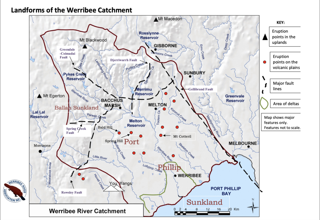
Five million years ago, volcanic eruptions produce lava flows that form the Werribee Plains. Basalt rocks are scattered over the landscape. Over millennia, the spaces between the basalt rocks fill in with sediment, carried by wind storms and changes in sea levels. Alluvial deposits from flood events in the rivers form a layer of topsoil at the surface.
The Victorian Volcanic Plains stretch from present-day Melbourne to the South Australian border. River Red Gum trees thrive along waterways and in floodplains. The people of the Kulin Nation have lived here for more than 60,000 years. They are the Traditional Custodians of the land. The Bunurong, Wadawurrung and Wurundjeri Woi Wurrung peoples manage Country in a complex and sustainable way.
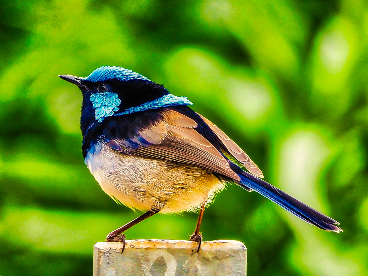
Grasslands are home to diverse animals, birds and insects, and many invertebrates in the soil layers. The Werribee River Association acts strategically and practically in an effort to gain support for the health of the people and the rivers, creeks, wetlands, estuaries, and coastline of the Werribee catchment.
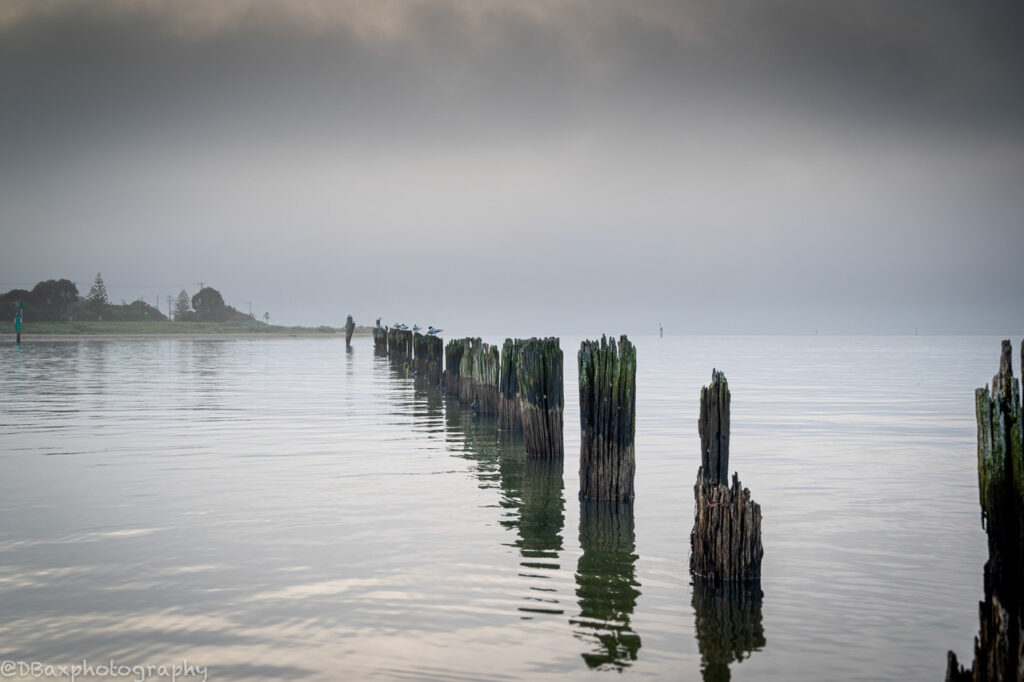
Coastal
Coastal
The sandy beaches, mud flats and rocky reefs of Port Phillip Bay/Nerm, at the mouth of the estuary, are rich in marine plants such as seagrass, kelp and algae. Animals thrive in these shallow ecosystems, with brightly coloured sponges, juvenile fish, seahorses, snails and nudibranchs amongst the many species found here, some of them unique to this region.
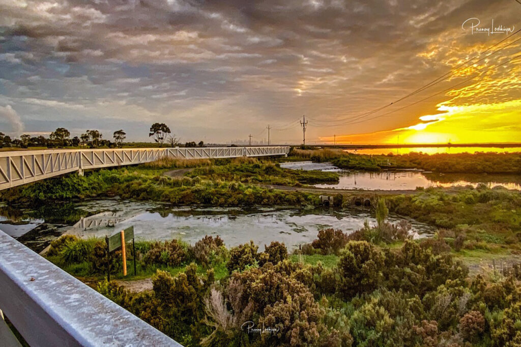
Wetlands
Wetlands
includes swamps, mangroves, saltmarshes, freshwater and saline lakes, temporary (ephemeral) and permanent waterbodies. These areas store carbon, trap sediment and nutrients, filtering water before it reaches creeks and rivers. They provide habitat for important native plants, and are havens for frogs, fish, birds and insects.
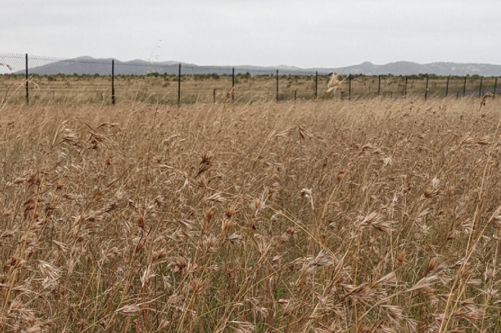
Grasslands
Grasslands
Once spreading from the Yarra River to the South Australian border, vast grasslands were home to grain-bearing grasses, tubers, orchids, wildflowers, shrubs, trees and huge mobs of kangaroo and emu, but have been reduced to 1% of their former range. These remaining areas are still classified as biodiversity hotspots, supporting rare and vulnerable plant and animal species
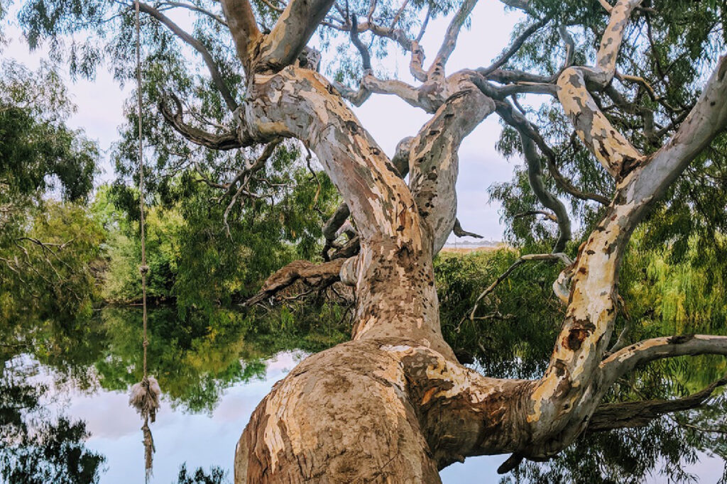
Riparian
Riparian
Along the river, mighty, ancient River Red Gums tower over layers of grasses, shrubs and smaller trees. These vegetation corridors create buffers from urban and rural development and allow birds and animals to move along the length of the waterway, connecting communities. Native plants protect the riverbanks from erosion, shade the water from temperature extremes, and provide habitat for burrowing creatures including turtles, nesting birds and platypus.