
Bridging Troubled Waters
Assessing waterway health in the Werribee River catchment
The WRA collaborated with environmental specialists Bio2Lab, to improve the health of Port Phillip Bay, by identifying major sources of stormwater pollution in the Werribee River catchment. By determining priority pollution sources, the project intends to raise awareness of local stormwater issues. This information will enable waterway managers such as the Victorian EPA, Melbourne Water, and Wyndham City Council to target point-source pollution reduction strategies, coupled with education & awareness programs.
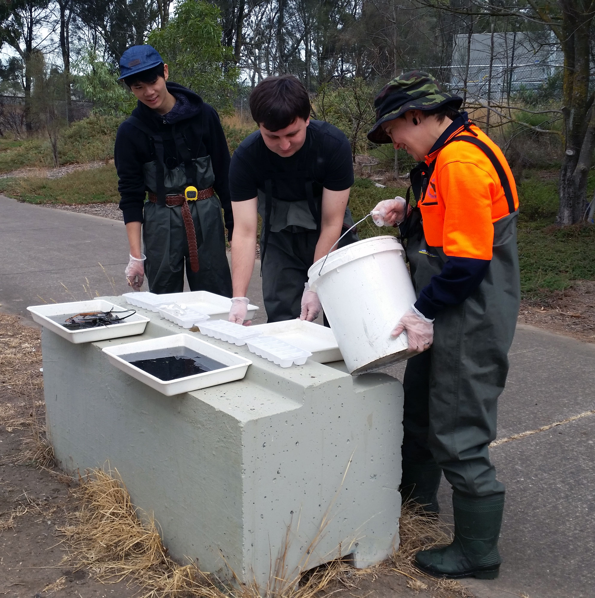
River bug sampling is also being conducted as part of the project. As different types of macroinvertebrates tolerate different stream conditions, their presence or absence can be used to indicate clean or polluted water. Therefore, they are a good indicator of the ecological health of a waterway.
The project has revealed the most polluted waterways are immediately downstream of the urban catchment around Werribee township and the surrounding suburbs. In contrast, the upper and lower reaches of the Werribee River had much lower levels of pollution. The most polluted area of the Werribee River corresponded with the most polluted stormwater outfall at the Maltby Bypass drain, which services a significant area of industrial catchment south of the Werribee township.
The urbanised reaches of the catchment are also dominated by tolerant macroinvertebrate species.
Read the full Bridging Troubled Waters Project Report
Final Report Bridging Troubled Waters Oct 2020
See also Our Werribee River – A Water Quality Analysis Report 025_20_Werribee-River-Report
An interactive report can also be found via the Bio2Lab website.